
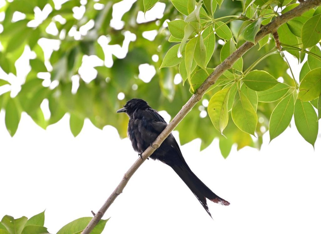
A drongo might be common, but it is no ordinary bird. Several of the species are accomplished mimics; their imitation of a cat’s meow is nothing short of masterful. The mynah is a brilliant mimic, too, using the skill to connect to their own kind or human friends. These birds do much more than mimicry, for birds, in general, are fascinating.
However, do we know how our drongos and mynas are doing? Are their numbers increasing, or are they struggling to survive? Watching them closely unravels stories about not just their world but also the environment we share with them. One of the first such atlases in the country, it offers valuable insights into the status and distribution of the State’s birds, particularly the common species which are often poorly monitored.
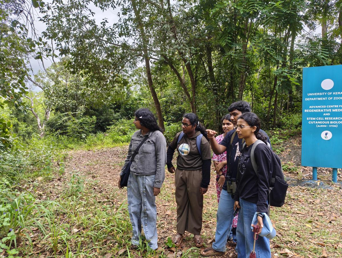
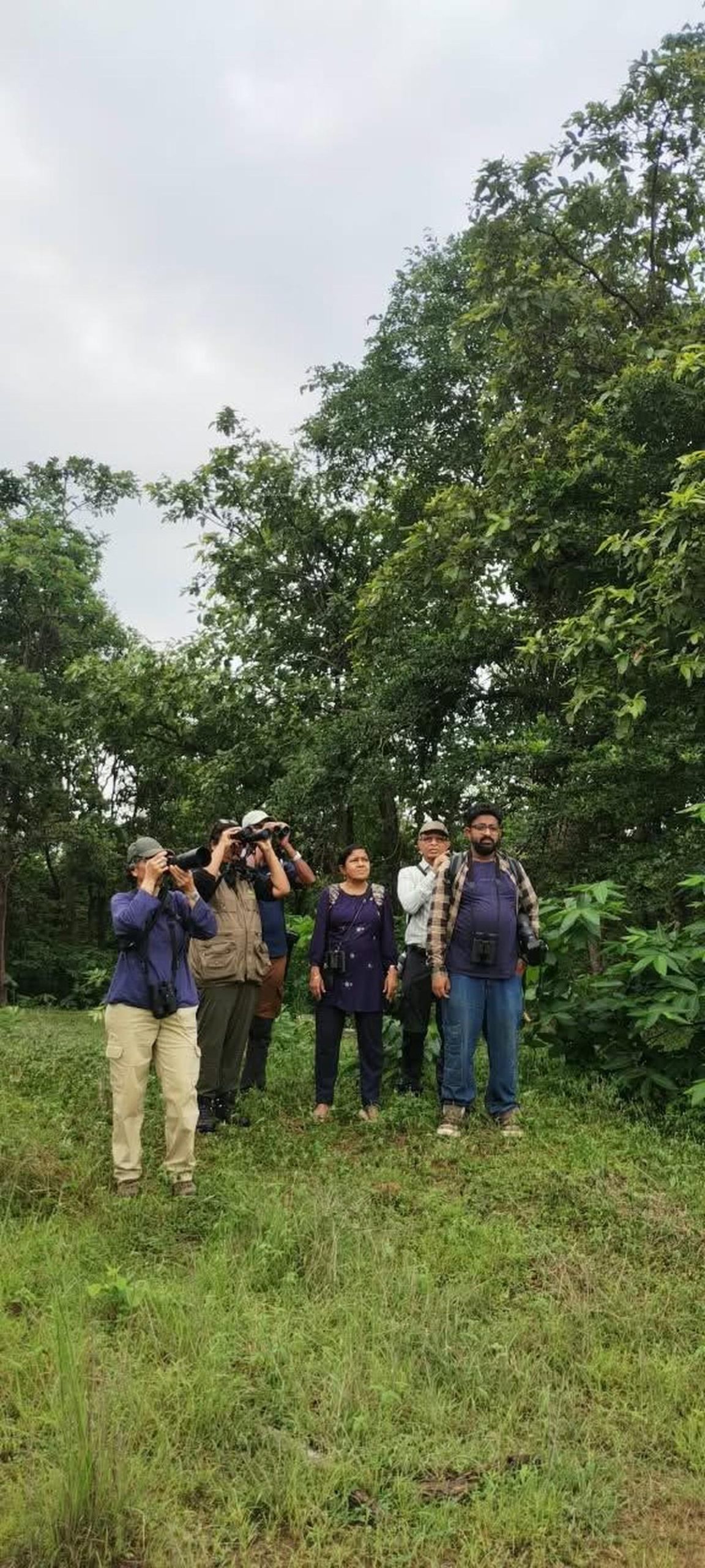
Since 2015, birdwatchers across Keralam have been recording wild birds, which culminated in the Kerala Bird Atlas , a comprehensive record of the birds in the State, which was released in 2021.
A collective exercise involving expert bird watchers and amateurs from across the State, the atlas is one of the largest citizen science initiatives in the country, says PO Nameer, dean, College of Climate Change and Environmental Science, Kerala Agricultural University, Thrissur, who has been a leading force behind the atlas and is one of its State co-ordinators.
Birds are indicators of climate change, as modification of their habitat can tell us about changes in climate and ecology,” he adds, citing the example of the peafowl. “The peafowl has been a species of dry open country and it has no historical presence in Keralam, which is humid and dense. The earliest bird documentation by the British from the 1800s to the early 1900s in the Travancore and Kochi regions does not indicate the presence of peafowl. Even ornithologist Salim Ali’s documentation in the 1930s does not include peafowl from much of Keralam. “Several other species endemic to Kerala have been on the decline. Praveen J, one of the State coordinators of the first atlas, was instrumental in designing its methodology. “While analysing semi-structured citizen-science data often requires complex statistical models, we deliberately designed the atlas methodology to avoid this requirement. “It gives a complete picture of the habitat. By dividing the State into well-defined grids, almost all habitats are covered including plains, foothills, riverine, pelagic, urban, suburban, forests, and mountainous,” adds Jayadev, who has been part of several bird surveys, including the Wetland International’s annual mid-winter waterbird census.
Now, however, the peafowl population has spread, which means the State is transforming from a humid, dense, wet zone to dry open country,” he says. We developed a standardised protocol so that data from the first and second iterations can be directly compared, reducing the uncertainty in our conclusions,” says the former IT professional and passionate birder, who is now part of the Nature Conservation Foundation, an NGO based in Bengaluru. For the first atlas, the total area of the State — 38,863 sq.kilometre — was divided into 4,324 sub cells where volunteers conducted surveys. “The Bird Atlas 2.0 revisits the exact same cells, which will give us specific information on what has changed in the last 10 years. With Atlas 2.0, we will be able to give scientific information to policy makers and stakeholders,” he adds. Incidentally, Jayadev also completed a personal milestone on July 28 this year — 10 years of non-stop reporting on the e-Bird app, on an everyday basis. That is 24,000 checklists on e-Bird (amounting to over 6,000 hours if birding in 10 years). He have seen over 505 species of birds in the last ten years in India.
Veteran birder Jayadev Menon, a business coach based in Kochi, says the atlas goes beyond bird diversity to include information such as the presence of water bodies, fruiting fig trees and invasive plants.
